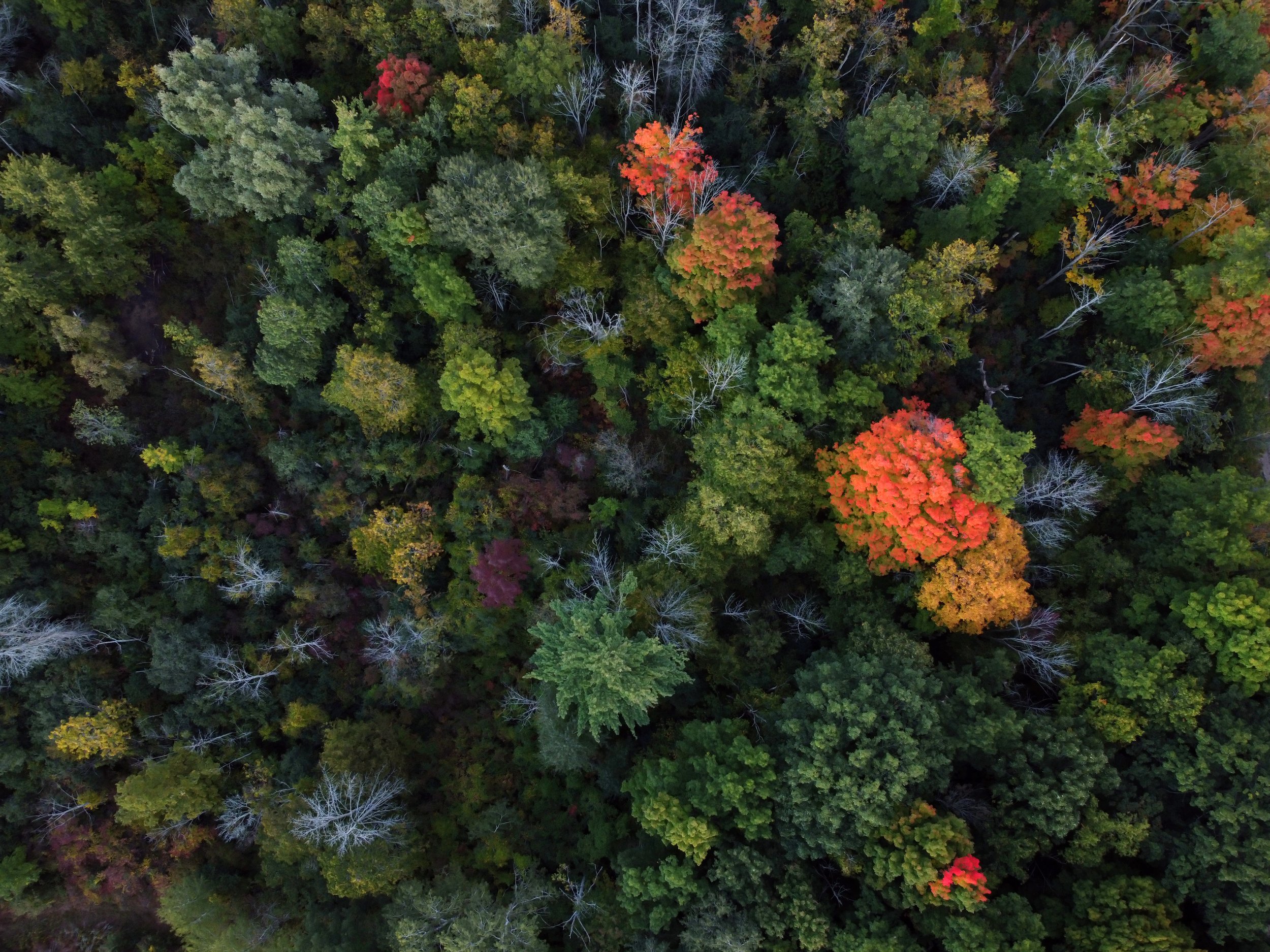
Video: Change Detection for Forests and Landscapes
Tesera offers solutions that automate multivariate change detection using remote-sensing data and time-series satellite imagery.
We provide rapid feedback on land disturbances, moisture content changes, vegetation cover and forest health. We utilize both publicly available and commercial satellite imagery sources.
Learn more about our Change Detection Solutions, we’ll be glad to show you a live demo…
