Seven Islands Land Company
USA – Northern Maine
+24,000 acres (Ph. 1 and 2)
Completed: Phases 1 & 2 / Phase 3 - In Progress
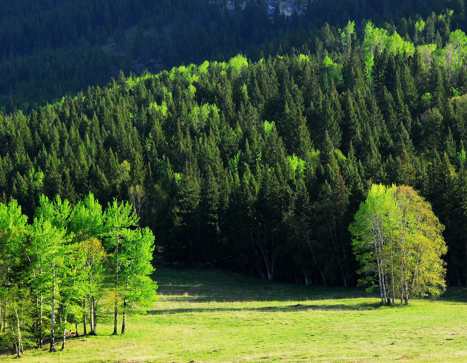
Tesera is developing and delivering a multi-phased, LiDAR-based Enhanced Forest Inventory for Seven Islands in northern Maine.
Phase 1: January 2024 to April 2024
Phase 2: November 2024 to August 2025
Phase 3: November, 2025 - In Progress (40,000 acres)
Tesera is using accurate, advanced and automated approaches to delineate forest landscape polygons based on specifications provided by Seven Islands. The project is delivering a comprehensive geodatabase that significantly improves the resolution and accuracy of forest landscapes, stand and tree level attribute data in support of Seven Islands operational and strategic forest planning needs.
“Tesera has delivered a responsive service and expert guidance to Seven Islands Land Company, demonstrating advanced capabilities in forestry analytics, remote sensing, and LiDAR integration.
Their team has led a pilot project that combines field measurements with remotely sensed data to produce enhanced forest inventory products, improving stand delineation that will support tactical, operational and strategic planning.
Tesera’s solutions provide Seven Islands a means to transition from traditional photo interpretation workflows to more sophisticated, data-driven forest interpretation. We are excited about the potential application of Tesera’s innovative solutions to optimize our timberland management.”
Ian Prior - Senior Inventory and Planning Manager, Seven Islands Land Company (USA)